
.jpg)
Ruins of Loropeni - Burkina Faso
")
Website Category: Ancient sub-Saharan Civilisations
Area: 1.1 km2
Inscribed: 2009
Criteria: (iii) cultural tradition
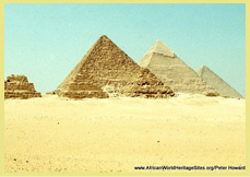
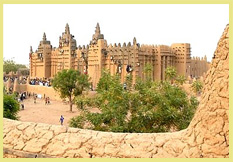
Location and Values: The Ruins of Loropeni are located in south-western Burkina Faso, about 40 km west of Gaoua town. The site was once a fortified settlement surrounded by a 6-metre high laterite stone wall, one of ten such fortifications in the Lobi tribal area. There is much archaeological work to be done before the history of the area is properly known but it is thought that the settlement at Loropeni flourished between the 14th and 17th centuries, built on wealth from gold production and trade. In particular, it is thought to have been linked to the trans-Saharan gold trade through the major centres of Djenne, Mopti and Timbuktu lying to the north. As shipping routes were developed and the trans-Sahara trade dwindled, the centre of power shifted south to the Ashanti kingdom (in present-day Ghana), and the importance of Loropeni declined. The development of Loropeni as a major centre based on the gold trade, and the changing fortunes of the other great centres of the Ghana, Mali, Songhai and Ashanti empires of West Africa seem to mirror developments in the great city states of southern Africa at Mapungubwe, Great Zimbabwe and Khami.
Today, the ruins are overgrown with trees and the great walls crumbling. Their secrets are yet to be revealed, but there is clearly much exciting archaeological work to be done.
Slideshow of the Ruins Of Loropeni: None of our team has visited the Ruins of Loropeni, but we have assembled a short slideshow of images from contributors to flickr.com. Thanks to Rita Willaert, Benoit Demers, Karlien Van Houtte, Hayley Droppert, Stefania Rinaldi and Vero Xray for these valuable photos (each individually credited in the watermark!).
Slideshow of the Ruins Of Loropeni:
Google Earth View: To view satellite imagery of the area around the Ruins of Loropeni on Google Earth, click here. This opens a new window, so when you are finished, just close the Google Earth page and you will be straight back here to continue browsing. Unfortunately, the imagery of this area is very poor, and it is difficult to make out any detail at the site.
Links to other places featuring ancient sub-Saharan civilisations: Abomey I Lope-Okanda I Asante Buildings I Askia I Kasubi Tombs I Great Zimbabwe I Khami Ruins | Mbanza Kongo
Other Links: Official UNESCO Site Details I World Monuments Fund
")
")
")
")