.jpg)
Bassari Country: Bassari, Fula And Bedik Cultural Landscapes (Senegal)

Website Category: Traditional Cultural Landscapes
Area: approx 503 km2
Inscribed: 2012
Criteria: (iii) cultural tradition (v) interaction with the environment (vi) association with belief system
Location and Values: Bassari Country is located in the south-western corner of Senegal, between Niokolo-Koba National Park (world heritage site) and the Guinean border, lying to the west of Kedougou town. It occupies dry deciduous woodland in the northern foothills of the Fouta Djallon massif, close to the headwaters of the Gambia River.
Designated as a cultural landscape, the site reflects the different ways three culturally-distinct groups of people have adapted to their natural environment. Each of these groups – the Bassari, Fula and Bedik peoples – arrived in the area at different times between the 11th and 19th centuries, establishing their settlements in the hills. These settlements provided defensible vantage points overlooking the plains below, and were made up of groups of circular thatched huts congregated around a central space. The area remains remote and many of the cultural adaptations of the people, including their agro-pastoral, social, ritual and spiritual practices persist to this day. The pattern of settlement has changed however, with many of the ancient villages used only periodically for ritual ceremonies and festivals
The world heritage site comprises three geographically separate localities, each of which is populated principally by people of a specific tribe (although today there is considerable inter-mixing of peoples). The centre of the first such area, Bandafassi lies about 20 km west of Kedougou town and is mainly occupied by Bedik people, with dense groups of huts and steep thatched roofs. About 50 km further west is the Salemata area, inhabited mainly by Bassari people whose agro-pastoral landscape is characterised by terraces and rice paddies. The third area, Dindefflo lies against the Guinean border about 20 km south of Bandafassi, and is mainly a Fula-populated area.
Slideshow of Bassari Country: The slideshow starts with a view of the Bedik village of Ethiowar and then shows three satellite images of the Salemata area from Google Earth, illustrating the layout of Bassari settlements amongst the typical vegetation and topography of the area. The next few photos show the different types of traditional houses, with examples of Bedik, Fula and Bassari-style dwellings, then some tradional masked dances, as well as some caves and waterfalls at Dindefflo and Afia. Additional landscapes are shown, before finishing the slideshow with a series of further satellite images from the Salemata area, two satellite images of Bandafassi Peul (the largest village) and a hazy view of the Dindefflo area (centred on the location of the Dindefflo waterfalls). Thanks to Sebastien Moriset, Mamadou Seya Ndiaye and Google Earth for contributing this illuminating series of photos
Google Earth View: To view satellite imagery of Bassari Country on Google Earth, click here. This opens a new window, so when you are finished, just close the Google Earth page and you will be straight back here to continue browsing. The window opens onto a good image of the village of Bandafassi Peul, at the eastern end of the Bandafassi component of the site. Unfortunately most of the images of this area and the whole of the Dindefflo area are lacking definition, making it difficult to distinguish individual homesteads and the arrangement of settlements. Better images of the Salemata area can be seen (as shown in the slideshow above).
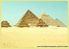
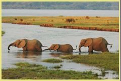
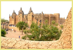
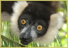
Links to other traditional cultural landscapes: Konso I Kaya Forests I Djenne I Bandiagara I Sukur I Osun-Osogbo I Saloum Delta I Mapungubwe I Richtersveld I Koutammakou I Matobo Hills I ǂKhomani
Other Links: Official UNESCO Site Details
")
")
")
")